
新界景色 III
View of NT III
這套包含20張幻燈片的圖集,珍貴地紀錄了1960年代香港新界的城鄉景觀。當時的新界正處於大型新市鎮發展的前夕,影像捕捉了傳統村落、自然風貌與早期城鎮化交織的獨特氣息。這些照片為研究香港鄉郊地貌與社會變遷提供了重要的視覺文獻。
This collection of 20 slides offers a precious glimpse into the cityscape and rural landscapes of the New Territories in the 1960s. Captured just before the massive new town development projects, the images highlight a unique blend of traditional villages, natural scenery, and early urbanization. These photographs serve as vital visual documentation for studying the topographical and social transformations of Hong Kong's outskirts.
幻燈片一覽All Slides
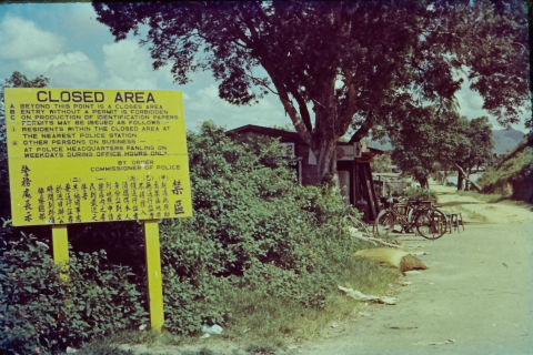
邊境禁區告示牌
Frontier Closed Area Sign
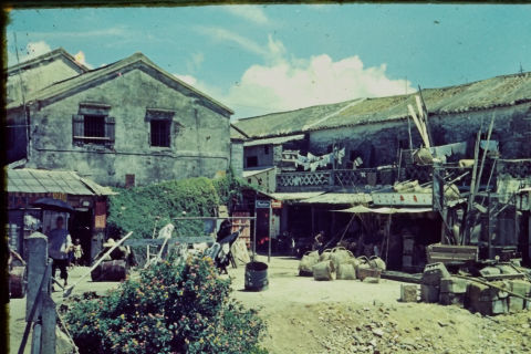
新界鄉村街景與石屋
New Territories Village Scene
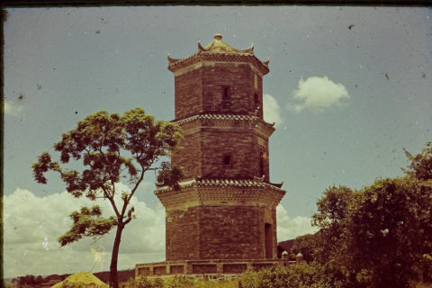
元朗屏山聚星樓
Tsui Sing Lau Pagoda in Ping Shan
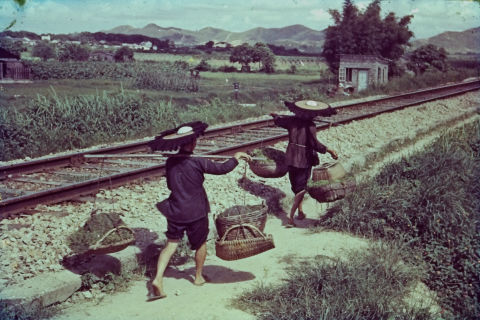
新界鐵路旁的客家婦女
Hakka Women Beside the Railway
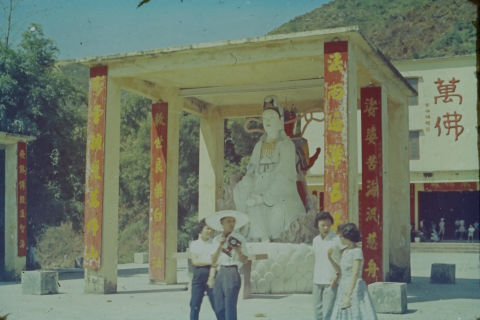
沙田萬佛寺觀音亭遊人
Visitors at Ten Thousand Buddhas Monastery
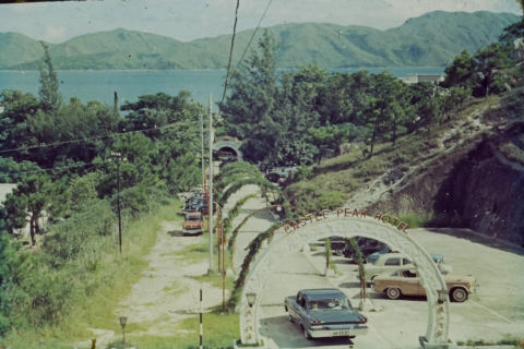
屯門青山酒店車道拱門
Castle Peak Hotel Archway, Tuen Mun
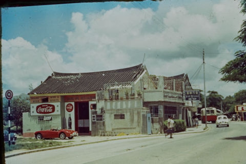
1960年代新界鄉村公路旁的勝記餐廳
Shing Kee Restaurant along New Territories Road in the 1960s
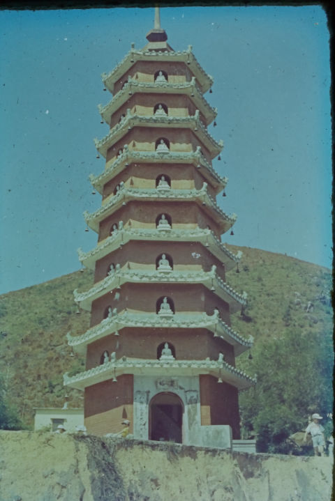
沙田萬佛寺萬佛塔
Ten Thousand Buddhas Pagoda, Sha Tin
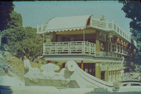
新界園林石舫建築
Stone Boat Pavilion in the New Territories
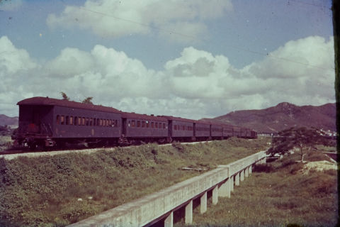
新界九廣鐵路客車
KCR Train in the New Territories
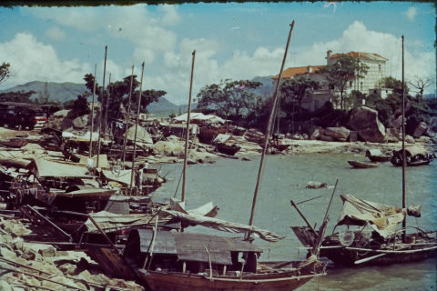
新界海岸漁船與西式別墅
Fishing Boats and Villa along New Territories Coast
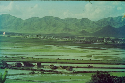
落馬洲眺望深圳河與邊界平原
View Across Shenzhen River from Lok Ma Chau
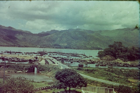
1960年代大埔元洲仔與吐露港
Yuen Chau Tsai and Tai Po Hoi in the 1960s
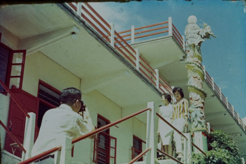
寺院樓閣前留影
Posing at a Temple
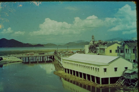
1960年代大埔林村河與舊廣福橋
Lam Tsuen River and Kwong Fuk Bridge in Tai Po, 1960s
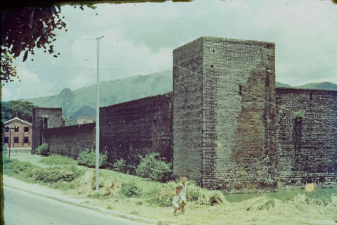
錦田吉慶圍圍牆與角樓
Kat Hing Wai Walled Village, Kam Tin
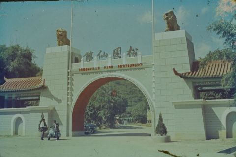
青山綠園仙館正門
Greenville Park Restaurant Entrance
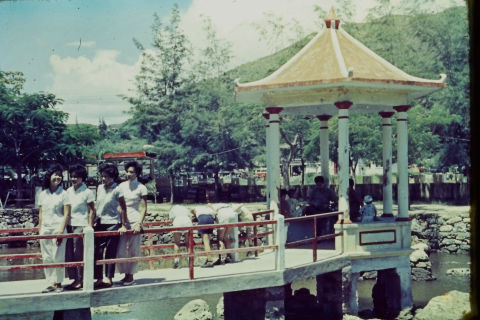
新界水池涼亭遊人
Pavilion and Pond in New Territories
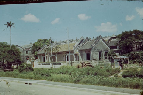
1960年代新界公路旁鄉村宗祠建築
Traditional Rural Hall by Roadside, New Territories
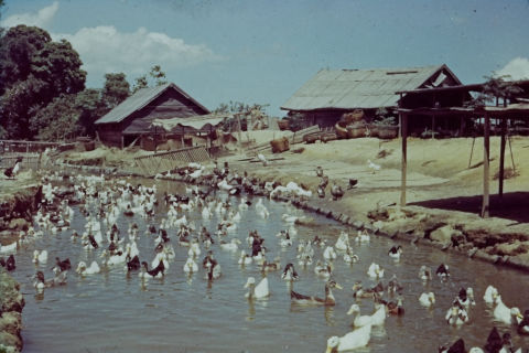
1960年代新界鴨場
Duck Farm in New Territories